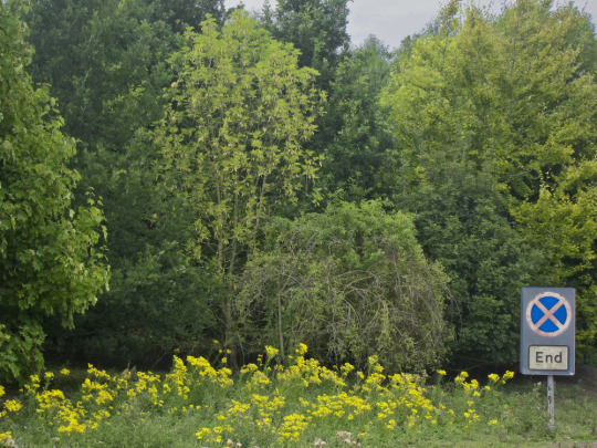
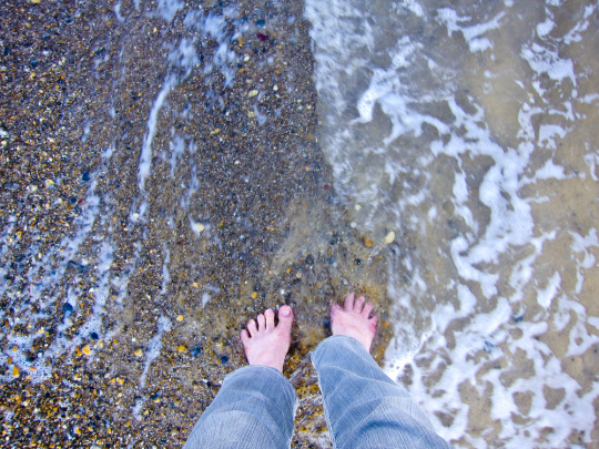
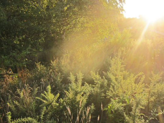
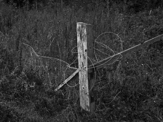
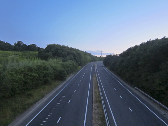
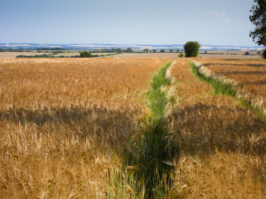
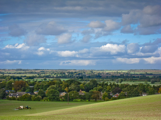
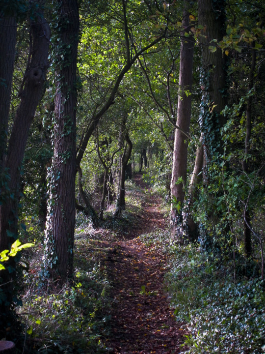
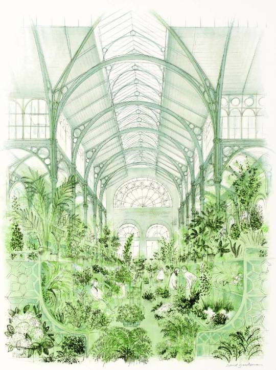
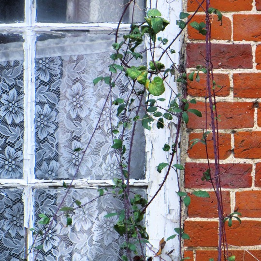
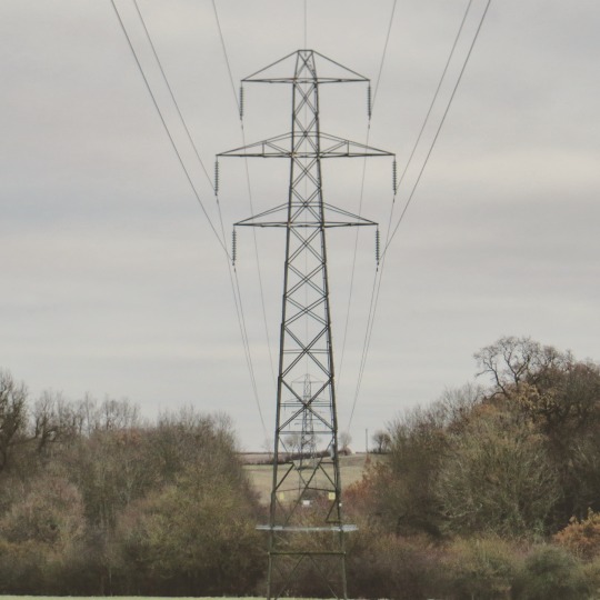
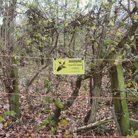
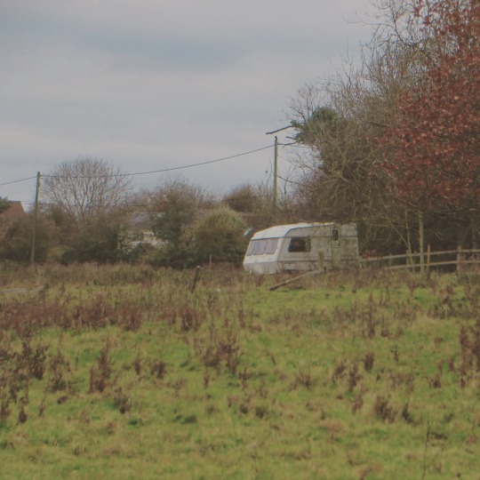
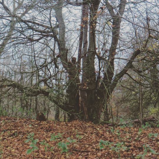
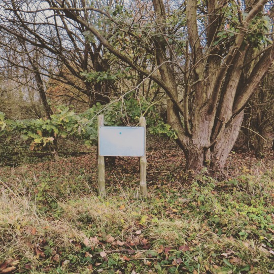
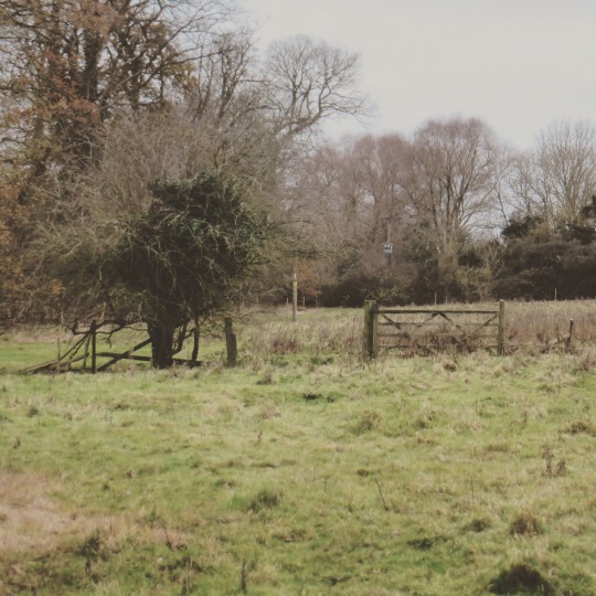
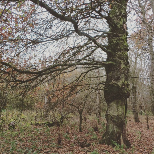
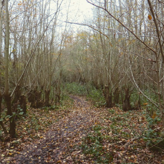
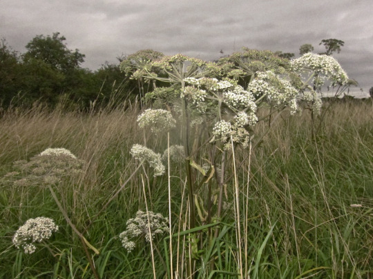
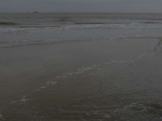
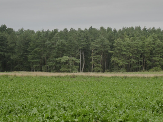
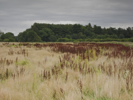
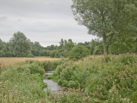
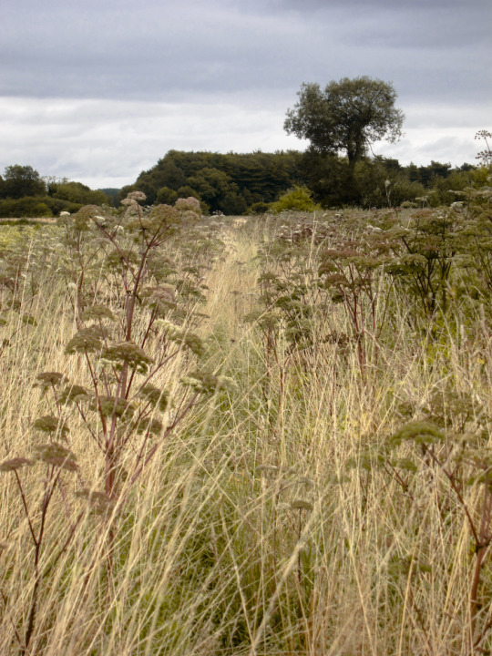
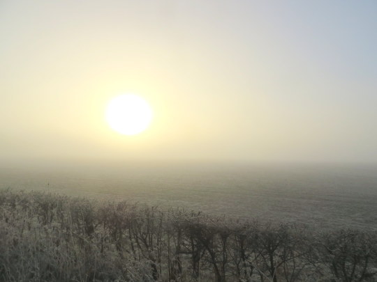
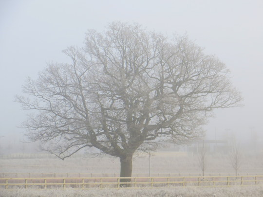
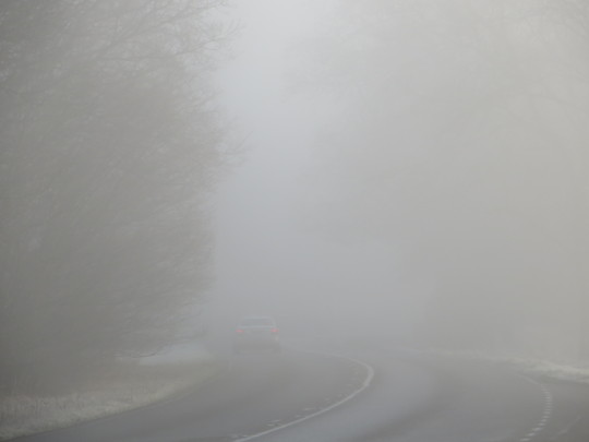
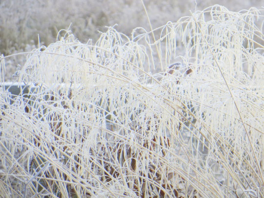
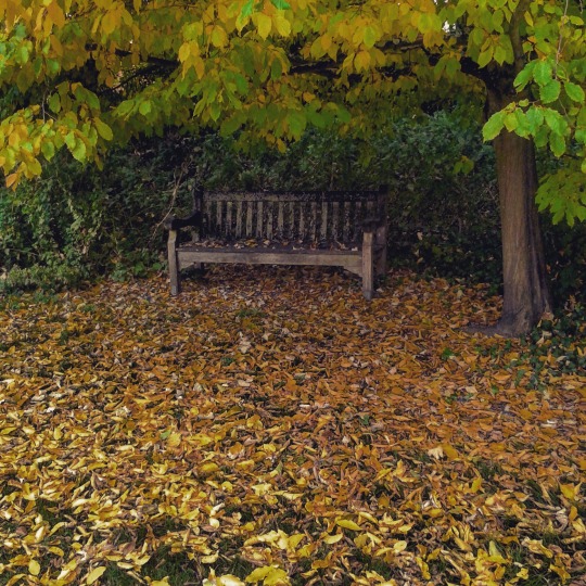
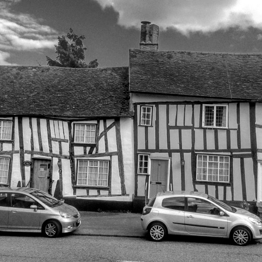
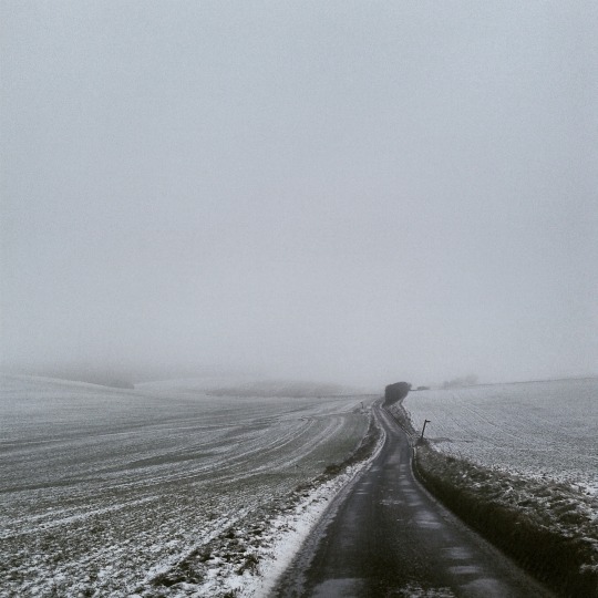
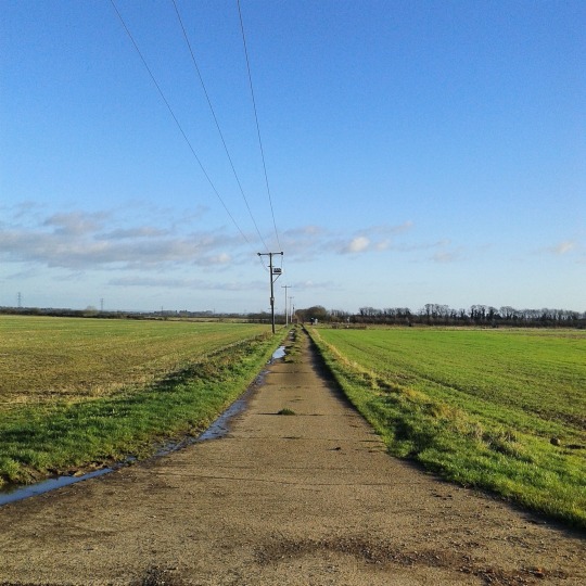
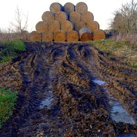
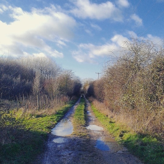
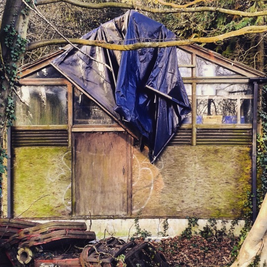
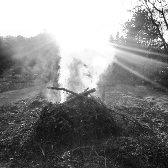
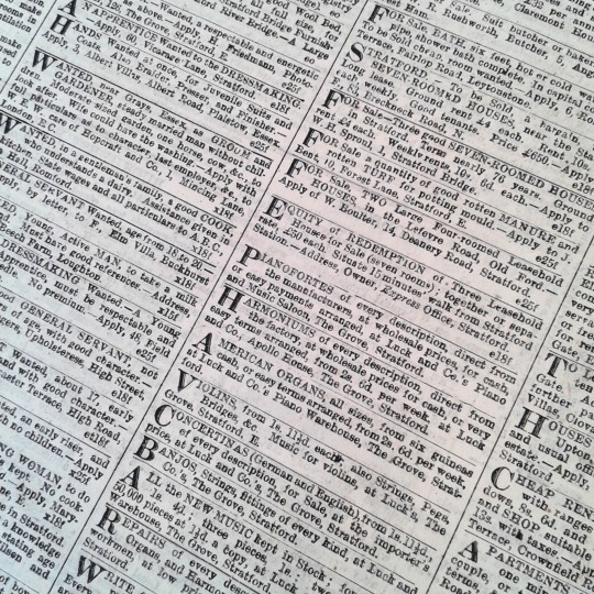
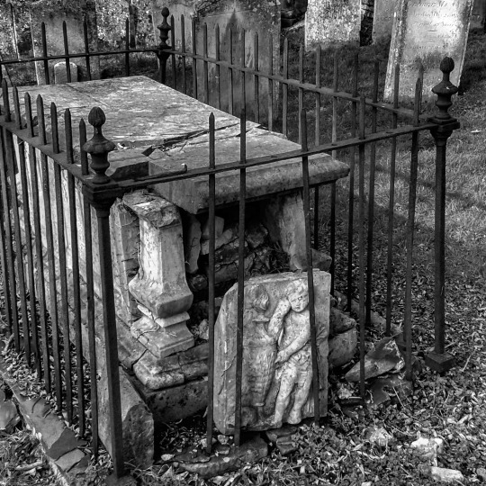
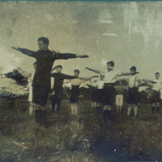
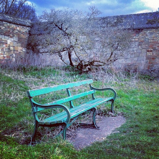
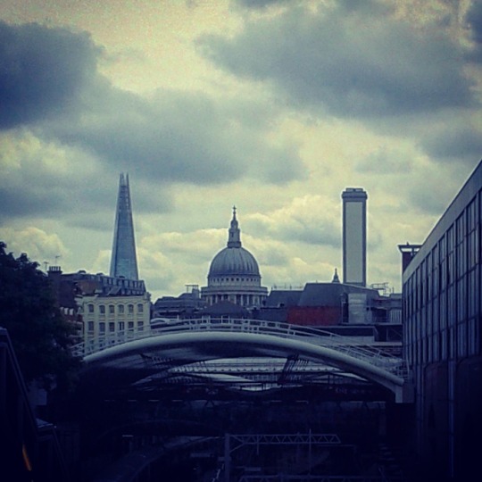
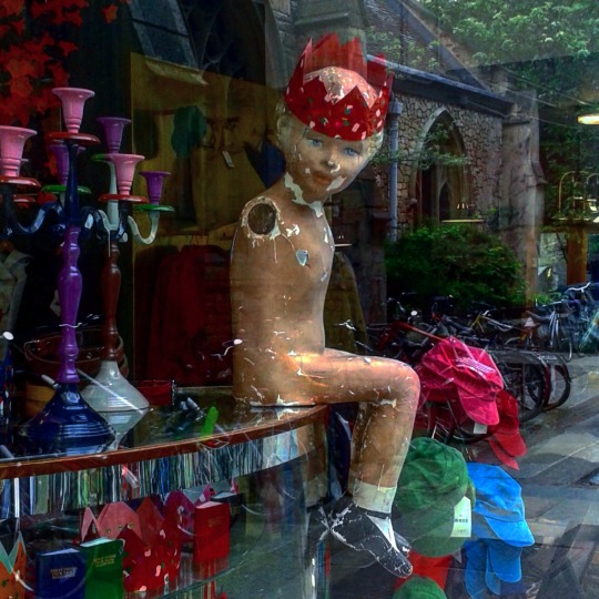
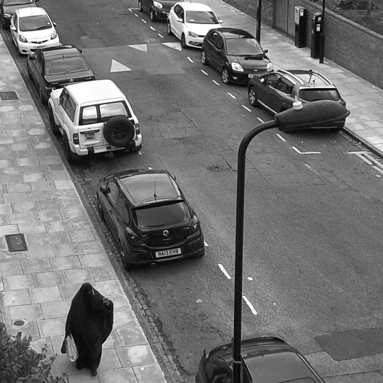
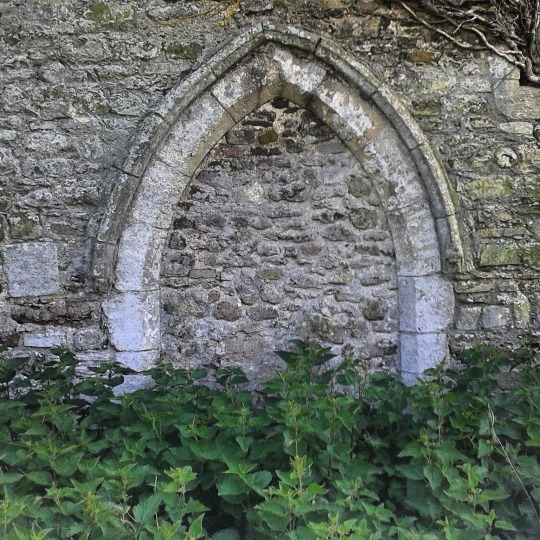
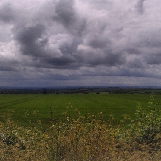
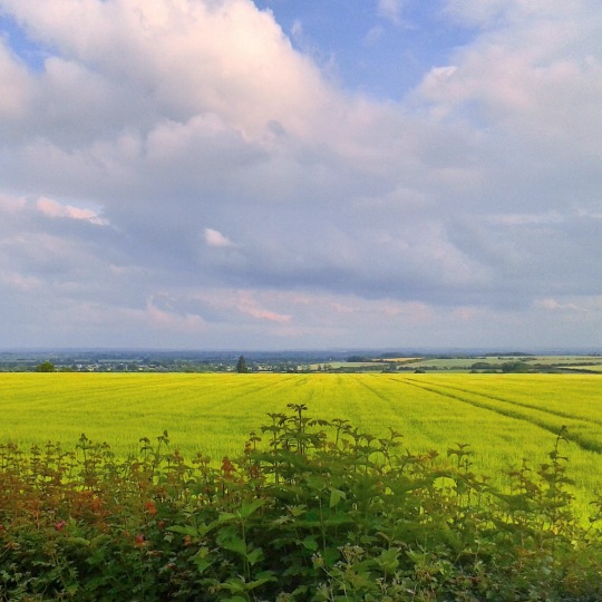
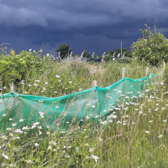
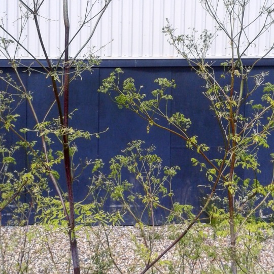
Here as the new year starts are a selection of photos from the Summer, as anyone who may have looked at my Instagram page would have noticed I am always taking photographs, I recently clocked over 14,000 posts on there alone. But here are a few simple photos of a bright and warmer time of England.
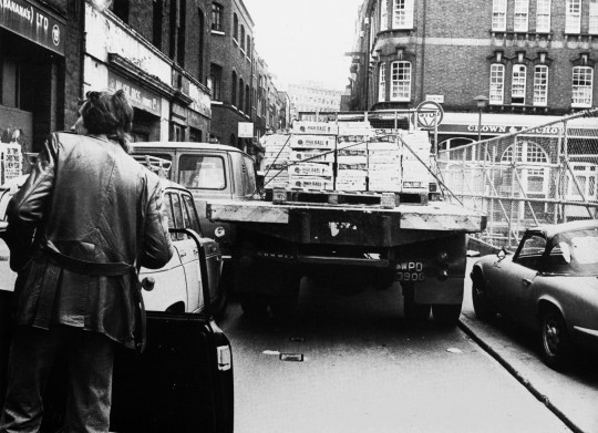
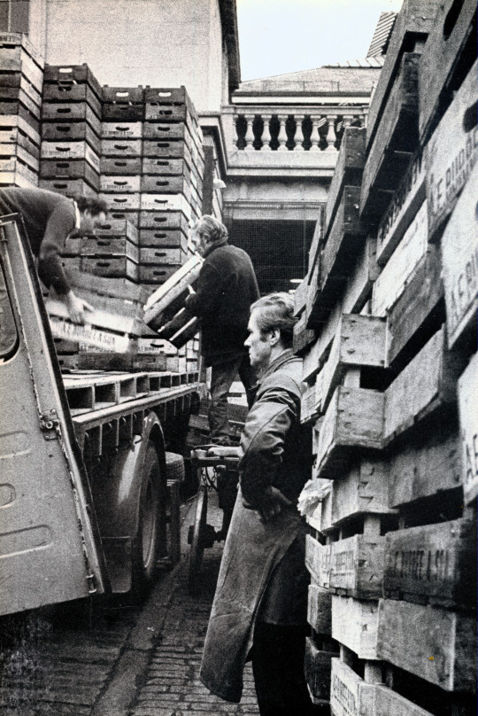
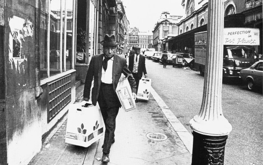
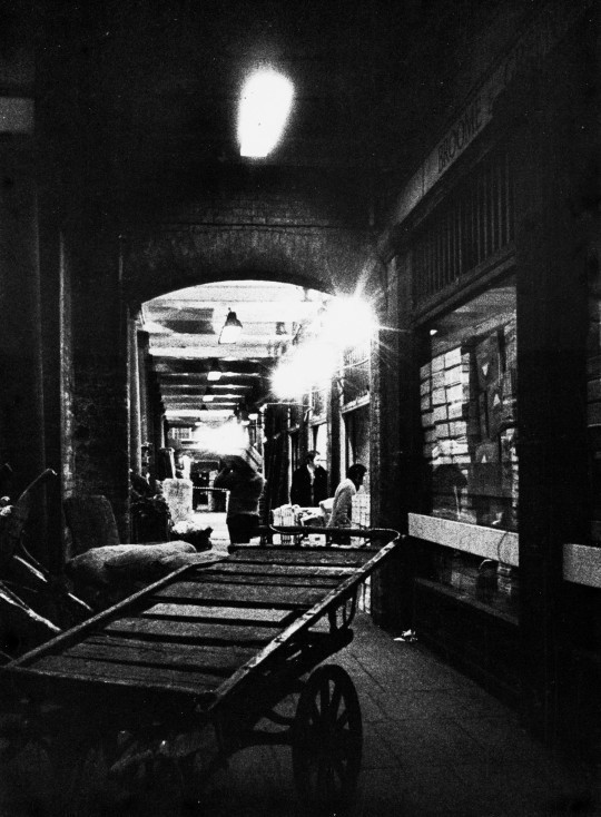
Covent Garden Market in London has a varied history that came to a head in the 1960s. Traffic to and from the market for buyers and traders was bothersome enough with narrow horse carts but with larger cars and lorries it was a nightmare.
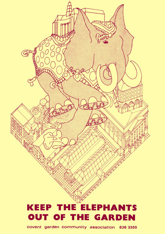
In 1961 the Covent Garden Market Bill was passed, there was some deliberation on what would happen to the historic buildings of Covent Garden after that. Redevelopment plans arose, and for ten years these plans were fiercely fought by the Covent Garden community, arguing in favour of preserving the area for its historical value and cultural meaning.
The Elephant being the GLC for Greater London Council, trampling on the area.
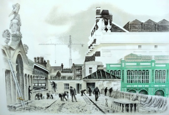
Their victory in this battle preserved Covent Garden’s old market buildings and they were reopened as a major tourist and shopping destination in 1980. The market had to be moved in its entirety across the river to Nine Elms in 1974 but the original buildings were preserved. Below are the responses to the closure and artistic propaganda by David Gentleman to show the beauty of the area.
By the end of the 1960s, traffic congestion had reached such a level that the use of the square as a modern wholesale distribution market was becoming untenable, and significant redevelopment was planned. Following a public outcry, buildings around the square were protected in 1973, preventing redevelopment. The following year the market moved to a new site in south-west London. The square languished until its central building re-opened as a shopping centre in 1980.
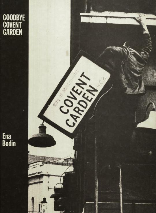
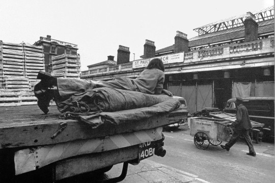
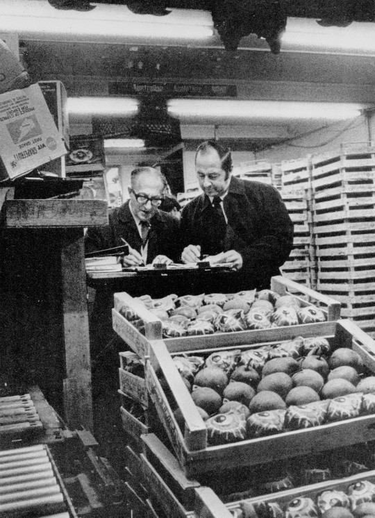
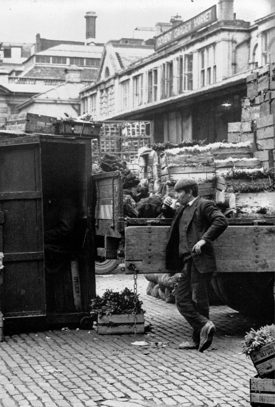
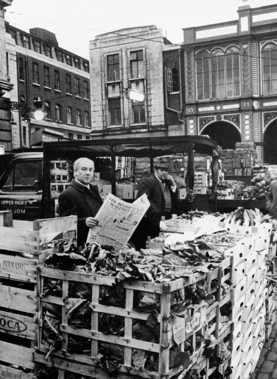
Goodbye Covent Garden was a photobook published in 1975 by Oxford Illustrated Press. It featured photographs of the workers and people around Covent Garden taken by Ena Bodin in the last two years of the market. Other than the cars and beautiful signage in the photographs you can see some of the mens fashions and even in some cases – platform shoes.
Above the picture shows the original Market building in use and below you can see the beautiful lithographs by David Gentleman.
David Gentleman – Foreign Fruit Market, 1972
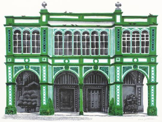
David Gentleman – Southern Section of Piazza (James Butler), 1972
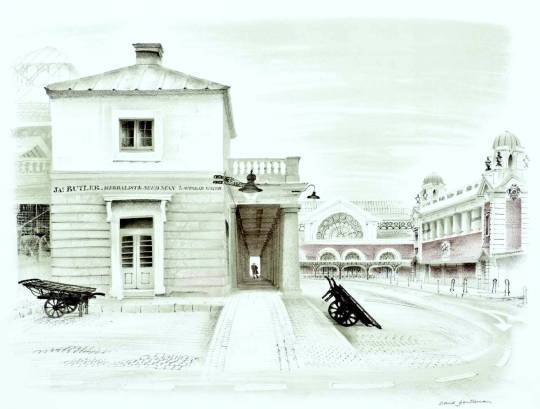
David Gentleman – East Terrace, 1972
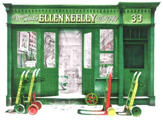
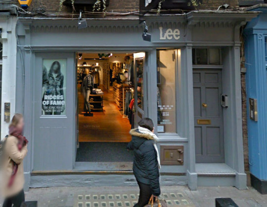
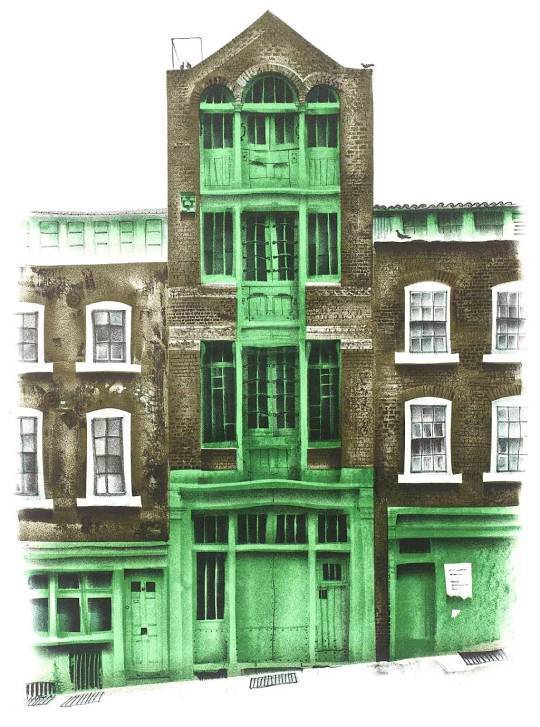
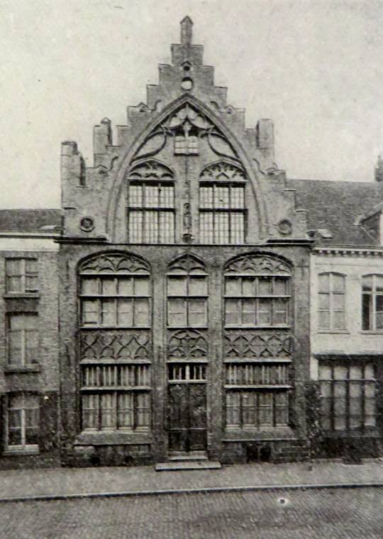
David Gentleman – Ellen Keeley’s Shop, 1972
The main premises of barrow-making firm of Ellen Keeley est. in Ireland in 1830. The Keeley family came to England at the time of the potato famine and lived in Nottingham Court. James Keeley invented and produced the costermonger’s barrow, like a shop on wheels and also developed the donkey barrow, once a familiar sight in London. In 1891 he was living at No.12 Nottingham Court and the elderly costermonger Ellen was living alone at No.8. In the 1960s the firm branched out into hiring their vehicles to the film industry (Keeley Hire in Hoddesdon).
Ellen Keeley’s Shop, 33 Neals Street, 2017.
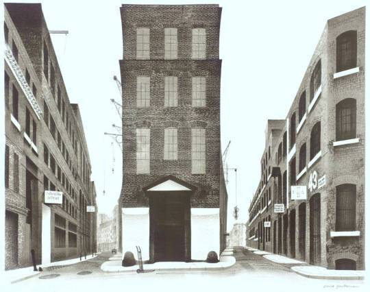
David Gentleman – Warehouses between Shelton St and Earlham St, 1972
David Gentleman – Piazza Looking South Past St Paul’s, 1972
David Gentleman – Warehouse in Mercer St, 1972
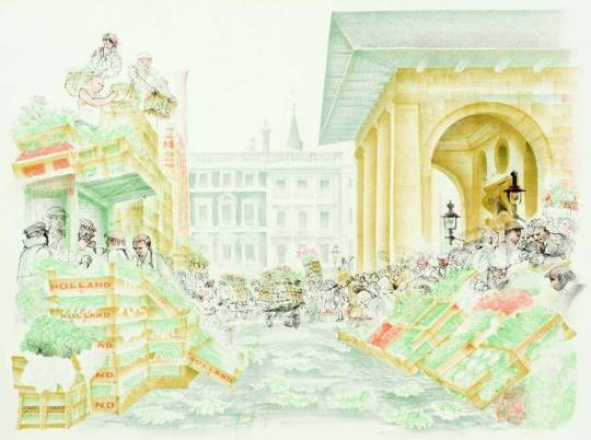
David Gentleman – The Flower Market, Covent Garden, 1972
The photography in this post is more of a defeat than a triumph, it is the documenting the end of something. The works of David Gentleman however placed along-side these photos show that Gentleman’s lithographs were able to inspire a vision of the area, making the dishevelled and shabby, romantic. Much like an Eric Ravilious painting. In making the lithographs I believe that Gentleman helped to present a case for the areas protection amongst the artists and lovers of conservation at the time when a spotlight was being put on the East End and Spitalfields.
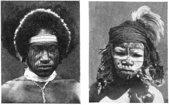
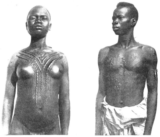
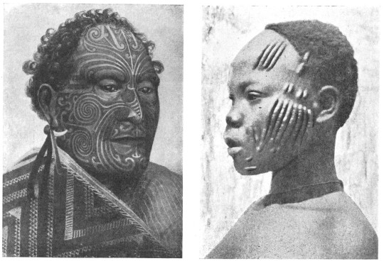
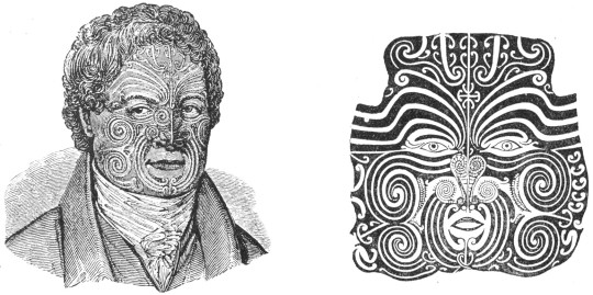
These pictures are all from a book by Hilaire Hiler ‘An Introduction To The Study Of Costume’, 1929.
The book illustrates fashion and costume through history. At just over 300 pages there are many wonderful illustrations, some of them I have pasted below.
Hilaire Harzberg Hiler was an American artist, psychologist, and color theoretician who worked in Europe and United States during the mid-20th century. At home and abroad, Hiler worked as a muralist, jazz musician, costume and set designer, teacher, and author.
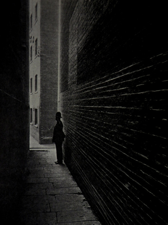
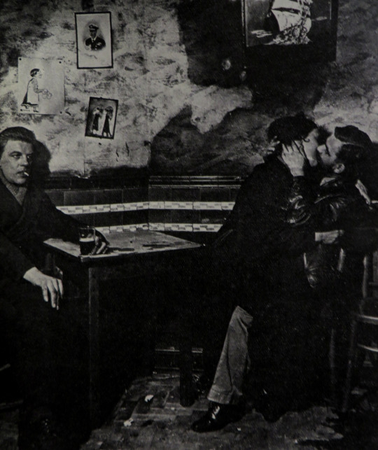
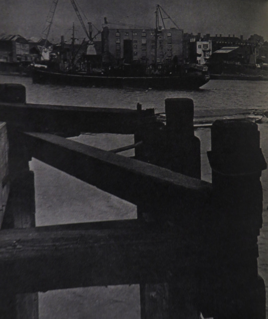
This is a piece from Lilliput Magazine, 1946. I loved the photos and the history that goes with them. The photographs are by Bill Brandt.
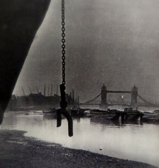
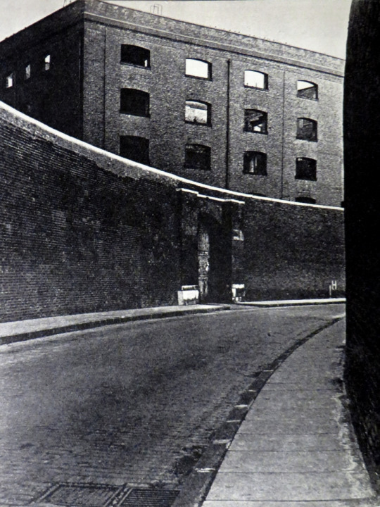
Below Tower Bridge: St Pauls Seen From Bermondsey. As ships steam up the Thames towards Kings Reach, Tower Bridge looms up ahead of them.Off Shadwell, a mile below, they signal Cherry Garden Pier at Southwark; Cherry Garden telephones to the bridge master, and the great bascules rise to admit them to the heart of London. Above, the traffic waits, but only for ninety seconds: the bridge begins to close before the ships stern is clear. Tower Bridge was built in 1894 at a cost of one and a half million pounds. Beyond the bridge is the dome of St Pauls.
As I Was A-Walking Down Nightingale Lane… Nightingale Lane would send any rustic bird flying in terror for its life. A brutally uncompromising dockyard street, it wanders grimly between the Customs walls of St. Katharines and London Docks down to Wapplng High Street. But in the 17th century it was a simple country lane. It is recorded that Charles I hunted a stag from Wanstead and that the hill was made in a garden in this lane, to the detriment of the herbs in the garden. The name is actually derived from the knights whom Edgar I allowed to form a guild here it was first called Cnihten, and then Knighten, Guild.
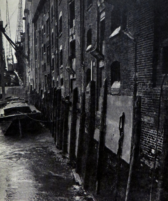
Wareshouses Along The South Bank.
Londons merchant princes may dress in black striped trousers and call themselves limited companies,but the goods they import are more rich and strange than any ever seen in Baghdad. Behind the walls of these drab warehouses lie spices and precious metals; tusks of ivory, furs, and casks of wine. The very grimness of the port is attractive to the visitor. If William Dunbar could return from the 15th century; he might well write again:
“Of merchants full of substance and of might, London, thou art the flower of cities all.”
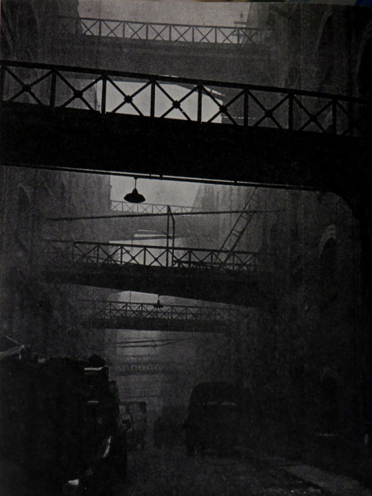
Shad Thames. Along the river from St. Saviours Back to Tower Bridge winds a street which, with its bewildering mass of gantries and cranes, and its highly compressed activity, is typical of much of the Thames-side London which has been building up slowly from the time of Drake. Before our great Elizabethan sailors opened the ocean highways, there was a mere trickle of foreign shipping in the Thamesa trickle that was to swell to the greatest flood of shipping in the world. Shad is another name for herring, and as Shad Thames is a continuation of Pickle Herring Street, the name is perhaps not so,obscure as it first appears.
Hermitage Stairs, Wapping. It is no longer thought that the Romans built the first river wall, but it was already old when it collapsed in 1324 and the river streamed through to flood 100,000 acres of the land now occupied by the London and the St. Katharines docks. After the breach had been repaired people were encouraged to return to Wapping wall and settle, so that there might be someone with a personal interest in keeping the wall in repair. It was around this time that the hermitage is thought to have existed which gave Hermitage Lane its name. Waterman call the river here not the Thames, but the London river.
Horselydown New Stairs, Bermondsey. The palace, the monastery, and the Abbey that were in their turn the pride of Bermondsey are to-day not even memories. Just below the bridge on the Bermondsey side of the river, Horselydown Lane runs down to the water overground where formerly the houses of great nobles and prelates stood. Here also were the parish archery butts, set up in the reign of Henry VIII. The warehouses lining the dark alleys are not very old, but they have stood long enough to seem immutable, and to provide a dark challenge to town planners.
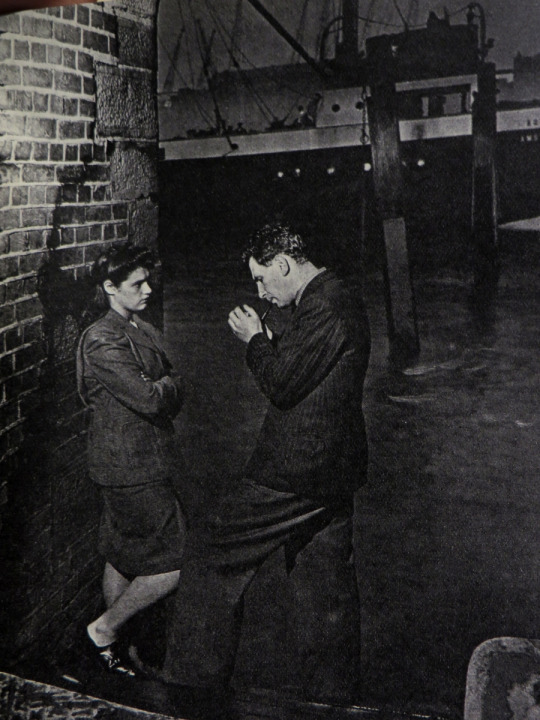
Charles Browns, Limehouse. Many of the old East End pubs have a rich historical background, real or synthetic,of piracy, smuggling, and general villainy. Charley Browns is the most famous of the old seafaring taverns, and still the first port of call for most sightseers in the East End. Sailors front all over the world used to bring their trophies to Charley, until the King of Limehouse, as he came to be called, had filled his pub with curios. When Charley died in 1932 ten thousand mourners followed his coffin: The pub is still a sailors, as well as a tourists,house.
Wapping The Wharves. Today Wapping is less exciting, and much more respectable, than it ever was in the past, when Ratcliffe Highway was the home of the land-shark and the downfall of the sailor. The Carron Wharf, on the right, belongs to a company which in the 18th century invented the carronade, a piece of ordnance which their ships mounted by Government licence. To prevent being mistaken for privateers these ships also carried the likeness of a cannon ball on their masts. This is the view across the river from St. Saviour’s Dock.
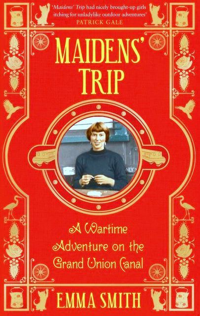
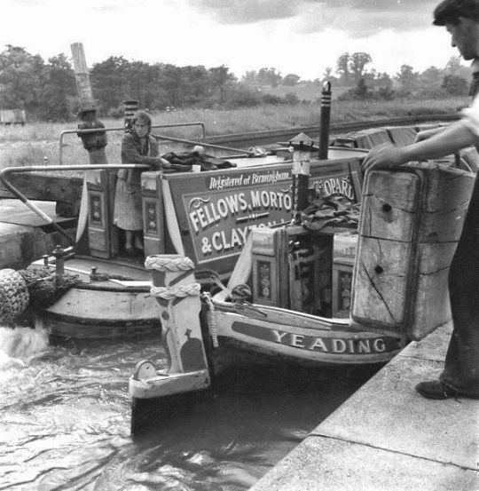
One of the best books I read in 2016 was Emma Smith’s Maidens’ Trip, a story about life on the wartime canals. In 1943 Emma Smith joined the Grand Union Canal Carrying Company under their wartime scheme of employing women to replace the boaters.
The Canal system had been in some decline since the rise of the railways in the 1880s, but wartime efforts to save money on fuel and get maximum efficiency out of the countries infrastructure facilitated a temporary change.
The Re-issued cover of the book.
Smith set out with two friends on a big adventure: three eighteen-year-olds, freed from a middle-class background, precipitated into the boating fraternity. They learn how to handle a pair of seventy-two foot-long canal boats, how to carry a cargo of steel north from London to Birmingham and coal from Coventry; how to splice ropes, bail out bilge water, keep the engine ticking over and steer through tunnels. They live off kedgeree and fried bread and jam, adopt a kitten, lose their bicycles, laugh and quarrel and get progressively dirtier and tougher as the weeks go by. I was rather annoyed to have missed the BBC Radio4 adaptation of it but hope to see it on BBC Radio4Extra in the coming year.
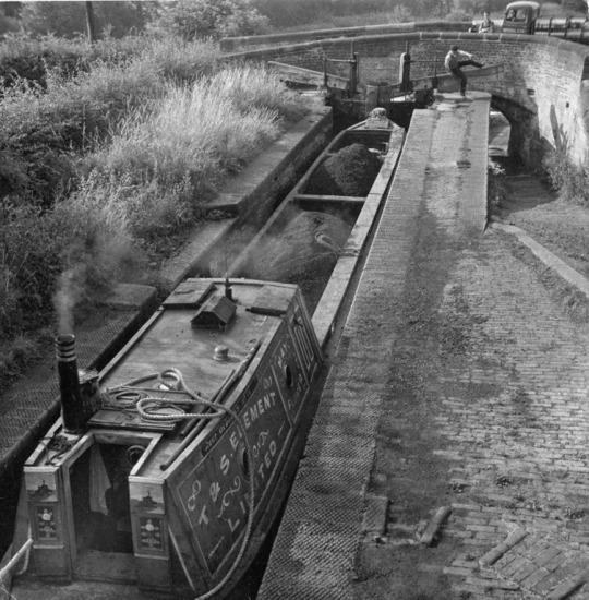
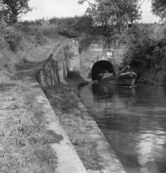
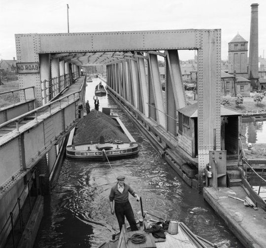
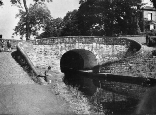
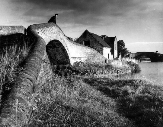
While reading the Smith book, for reference I had the ‘The Canals of England’ by Eric de Maré with his beautiful photos of 1950s Britain. Below are a selection of the pictures.
By the end of the nineteen-sixties a lot of the canals where in poor condition and it was only until the mid nineteen-nineties that they were cleared out and seen as tourist attractions.
Eric de Maré – The Canals of England, The Architectural Press, 1950 Emma Smith – Maidens’ Trip, Putnam & Company, 1948
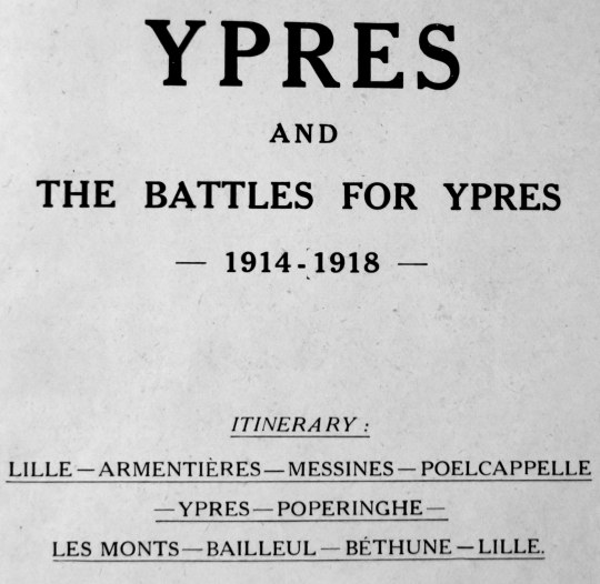
These pictures are from the ‘Michelin Guides to the Battle-Fields: Ypres and The Battles for Ypres’. It was a book giving the history of the first world war with maps and how each area was affected over time. I think most importantly they have pictures of the Ypres area during and directly after the war showing the carnage and the ruins, both with ruined machinery and buildings.
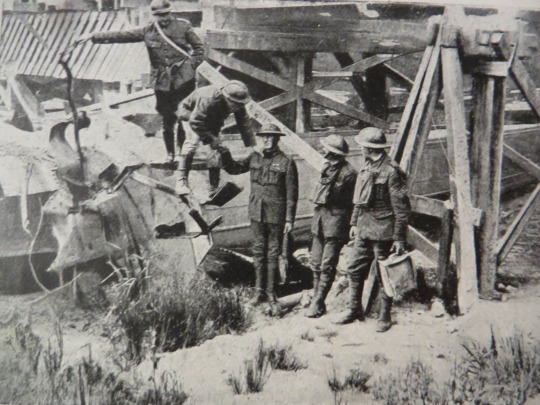
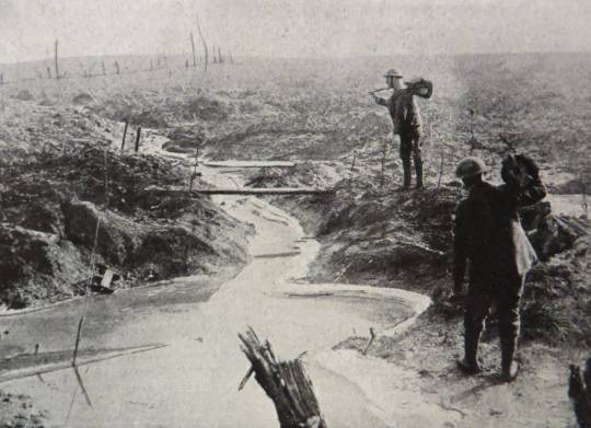
A difficult crossing. British and Belgian soldiers.
Today I think it might be easy to think a guide like this is distasteful, but there was a real demand of people who wanted to see where they lost family members and after the carnage the booklet is to the point with it’s histories.
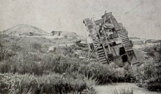
Langemarck, with destroyed tank. The mound in the middle distance is all that remains of the church.
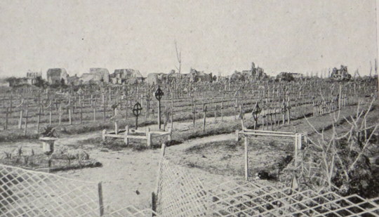
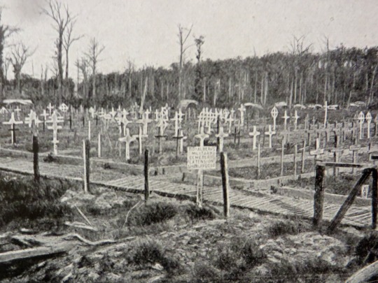
The British Cemetery Just outside of Ypres, on the road to Menin.
British Cemetery on the Polegsteert Road at Messines.
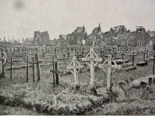
British Cemetery at the Hospice Notre-Dame.
The graveyards of the dead were rows of graves with wooden crosses staked in the ground while designs and ideas for war monuments were being designed. After the monuments had been designed and the graves laid out with stone uniformed crosses the families were asked if they would like to purchase the original wooden crosses and have it shipped back, those that where not bought by families were burnt.
The Flanders Battlefield in Winter.
The slopes of Scherpenberg Hill.
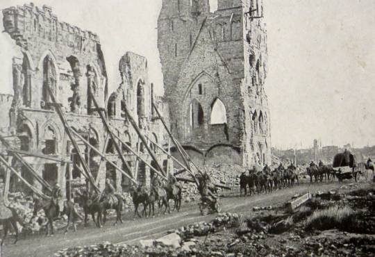
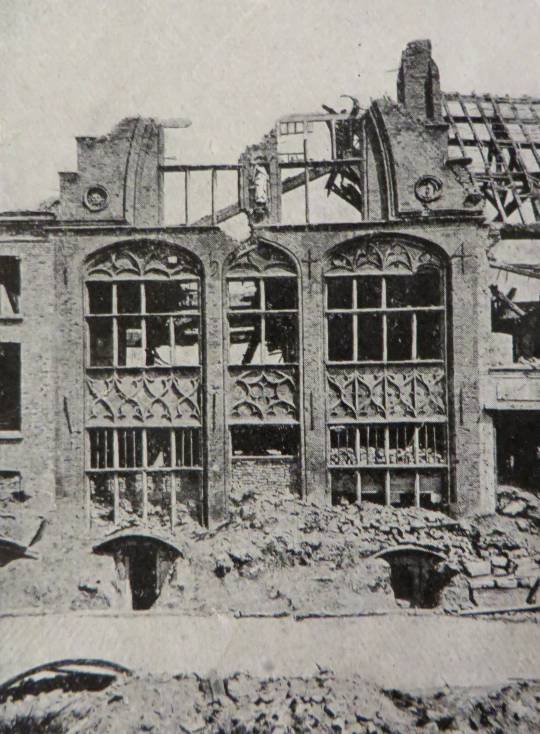
French troops passing in front of the ruins of Ypres Cloth Hall.
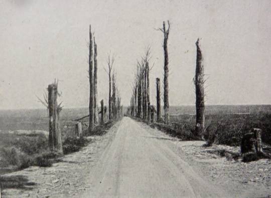
Messines Road.
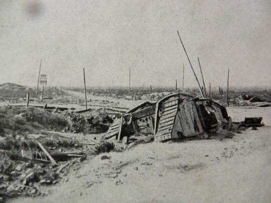
Destroyed British Tank sunk in the mud at the entrance to Poelcappelle.
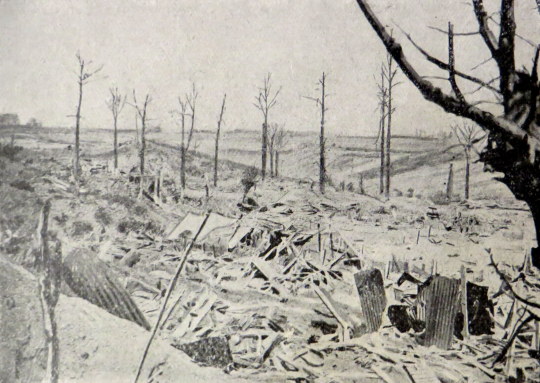
Before: Biebuyge House and below after the war.
After.
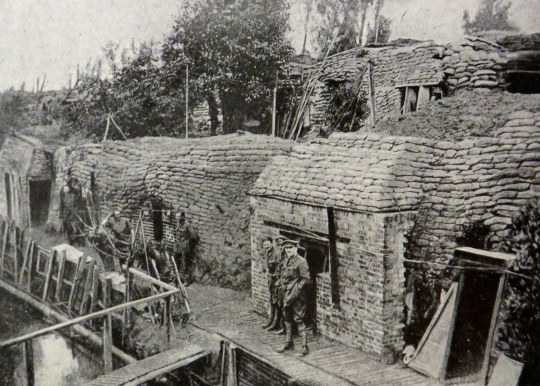
British Defence-works in front of Ypres.
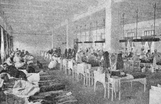
On the back pages of the book is a page outlining what Michelin did in the War by converting their warehouses (four storey) into hospitals with Operating Theatres, X-Ray wards and Laboratory’s in seven weeks and opening on September 22nd 1914. All the expenses were paid by the Michelin company.
A view of one of the Michelin Wards.
An advert for photographic reproductions of the images in the book, most of them were provided by the Imperial War Museum, London.